 © T. Tormos
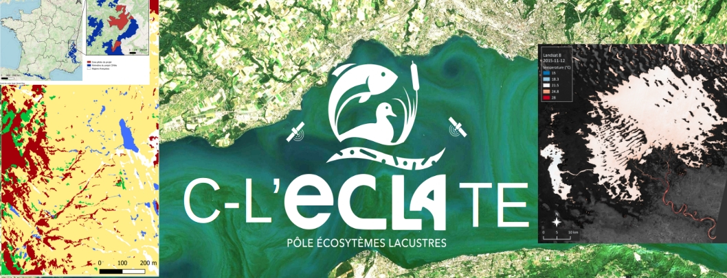
C-LECLATE
Large-Scale Characterization of Lake Ecosystems by Remote Sensing
SECTIONInnovative monitoring |
PERIODJanuary 2019 - January 2024 |
|
FUNDINGPôle ECLA |
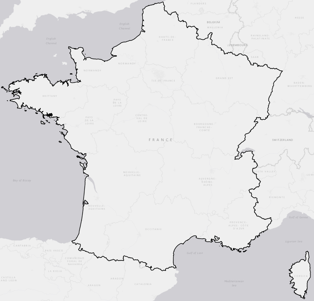
STUDY AREA(S)Hexagonal France |
|
PARTNERSCNESMagellium |
COORDINATOR(S)T. TormosN. Reynaud |
Project Description
Project Context :In situ observation of lake ecosystems remains essential but is costly and spatially limited. In contrast, remote sensing now provides homogeneous coverage over large areas, with revisit frequencies sufficient to closely track lake dynamics. To fully harness this potential, further algorithmic advances are needed to transform imagery into reliable, operational indicators capable of characterizing environmental trajectories across multiple functional scales: the water body, the riparian corridor, and the watershed.
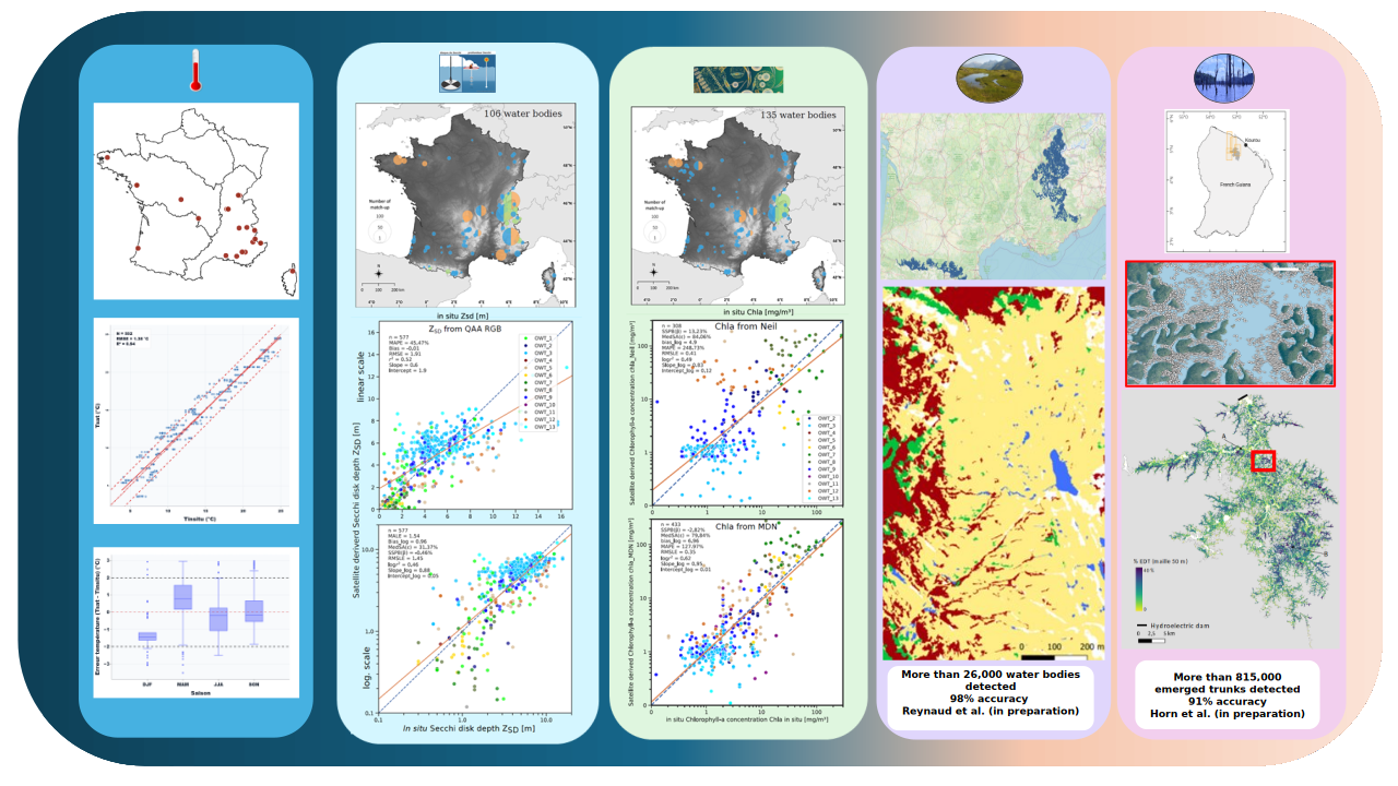
Project Objectives :The objective of the project is to deliver operational algorithmic processing chains that exploit (i) high spatial resolution time series (e.g., Sentinel-2, Landsat) to characterize water levels and water quality (temperature, transparency, chlorophyll-a, etc.); and (ii) very high spatial resolution imagery (e.g., Pléiades) to inventory and characterize, in particular, high-altitude ponds in the mountainous regions of mainland France.
Project Results
To go further
Useful Links :
https://hal.science/hal-05530416v1
https://hal.science/hal-05530353v1
https://hal.science/hal-05530376v1
https://hal.inrae.fr/hal-03616972v1
https://hal.science/hal-05543126v1
Contact : thierry.tormos[at]ofb.gouv.fr