 © T. Tormos
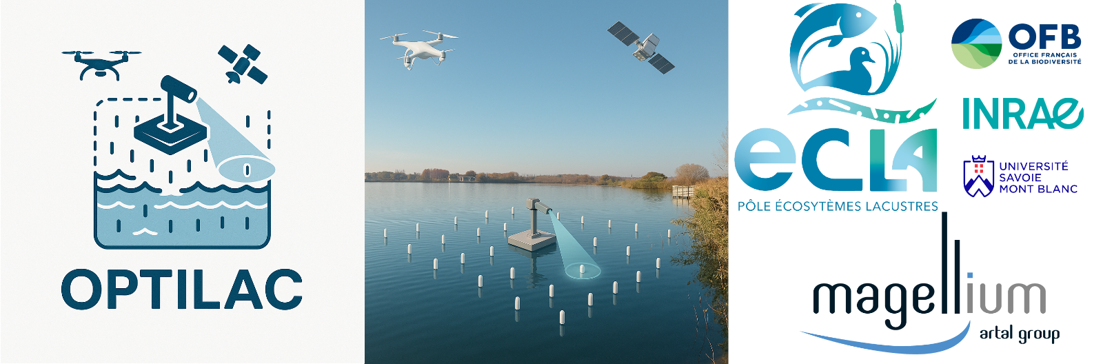
OPTILAC
Development of new tools for optical lake monitoring
SECTIONInnovative monitoring |
PERIODJanuary 2025 - December 2027 |
|
FUNDINGPôle ECLAMagellium |
STUDY AREA(S)Hexagonal France |
|
PARTNERSMagellium |
COORDINATOR(S)T. TormosN. Reynaud |
Project Description
Project Context :The improvement in quality and growing availability of satellite imagery represent a major advance for monitoring the ecological status of lakes (transparency, chlorophyll-a, suspended matter). These parameters, derived from water-color remote sensing algorithms, are produced continuously at the national scale (as part of the CNES SWOT downstream and France 2030 projects). For robust remote monitoring, a nationwide in-situ observation network dedicated to algorithm calibration and satellite product validation is essential.
Project Objectives :The project first aims to establish an operational protocol for monitoring the optical properties of water (temperature and colour), based on reliable, standardised, low-cost instruments that can be easily deployed nationwide. It then seeks to design a monitoring network representative of the optical types of water bodies in France, in close collaboration with managers to ensure its feasibility and long-term sustainability. Finally, the project must implement a complete data-processing and management chain, including acquisition, quality control, data entry, storage, and visualisation.
Project Results
State of the art on the measurement of apparent optical properties of water: protocols and instrumentation. Definition of the protocol for the future national network of apparent optical properties (OPTILAC). Classification of water bodies in France according to their optical type using high-resolution satellite imagery. Quality assessment and dissemination of future OPTILAC network data.
To go further
Useful Links :
https://dataecla.fr/donnees/teledetection
Contact : thierry.tormos[at]ofb.gouv.fr