 © Pôle ECLA
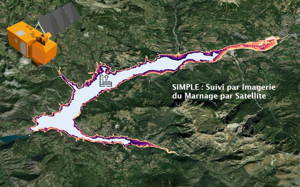
SIMPLE
Inland water level monitoring from optical remote sensing
SECTIONInnovative monitoring |
PERIODJanuary 2025 - July 2025 |
|
FUNDINGPôle ECLA |
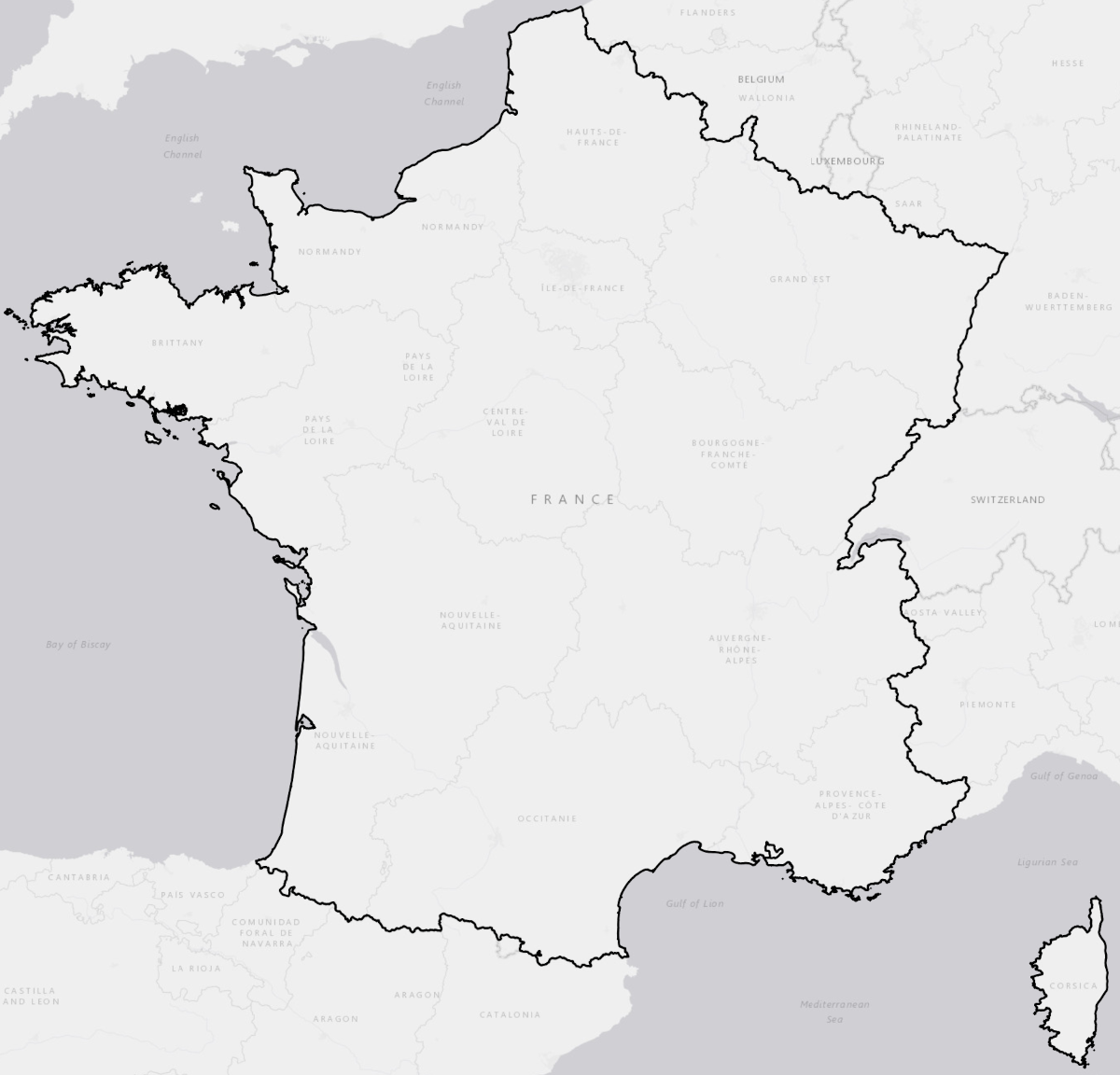
STUDY AREA(S)Hexagonal France |
|
PARTNERS |
COORDINATOR(S)T. TormosN. Reynaud A. Guerou |
Project Description
Project Context :Characterising water level fluctuations in lakes and reservoirs is a key challenge for meeting the requirements of the Water Framework Directive (WFD) monitoring and for improving our understanding of their effects on aquatic ecosystem functioning and associated biodiversity. Yet, this information remains poorly documented at the national scale. Recent advances in satellite-based products for monitoring water surface extent—and now water level variations—offer promising opportunities to address this knowledge gap.
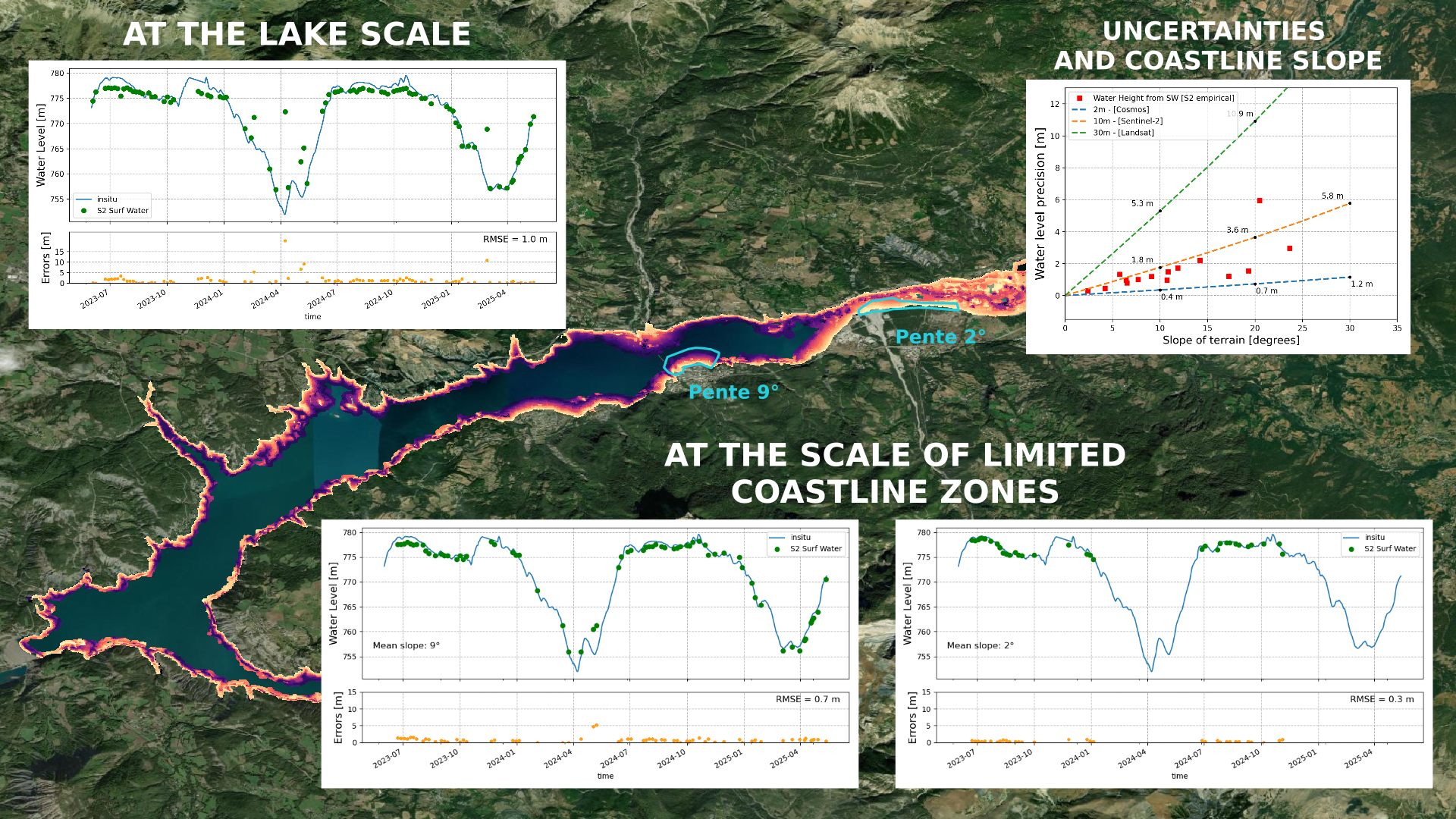
Project Objectives :Indirect estimation of water level fluctuations in lakes and reservoirs based on their surface extent still faces several methodological limitations. The project aims to assess the performance of existing approaches and to identify the conditions under which these estimates are valid, depending on fluctuation amplitude, observation frequency, waterbody morphology, and riparian vegetation context. The objective is to formulate operational recommendations on the use of satellite imagery, as a complement to direct measurements from radar altimetry.
Project Results
To go further
Useful Links :
Contact : thierry.tormos[at]ofb.gouv.fr